Our offer
AI-Driven
data analysis
Geolearn uses state-of-the-art technologies such as deep and shallow learning as well as geostatistics, to retrieve more information, recognize hidden patterns and increase the power of your data so that you can solve the problems of your geoscience projects.
Data
Visualization
We offer connected, interactive and portable solutions to visualize effectively, explicitly and aestheticly your content from predictions or raw data.
Software solutions and
data storage
We produce tailor-made software solutions for the storage, processing and interpretation of data including, as needed, relational databases and interactive visualization interfaces.
Knowledge
sharing
You have training needs in machine learning, geostatistics or python programming applied to geosciences? We can meet your needs, whether through in-house or online training courses.
Our achievements
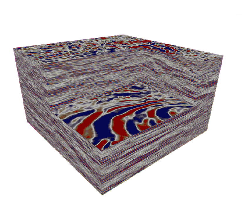
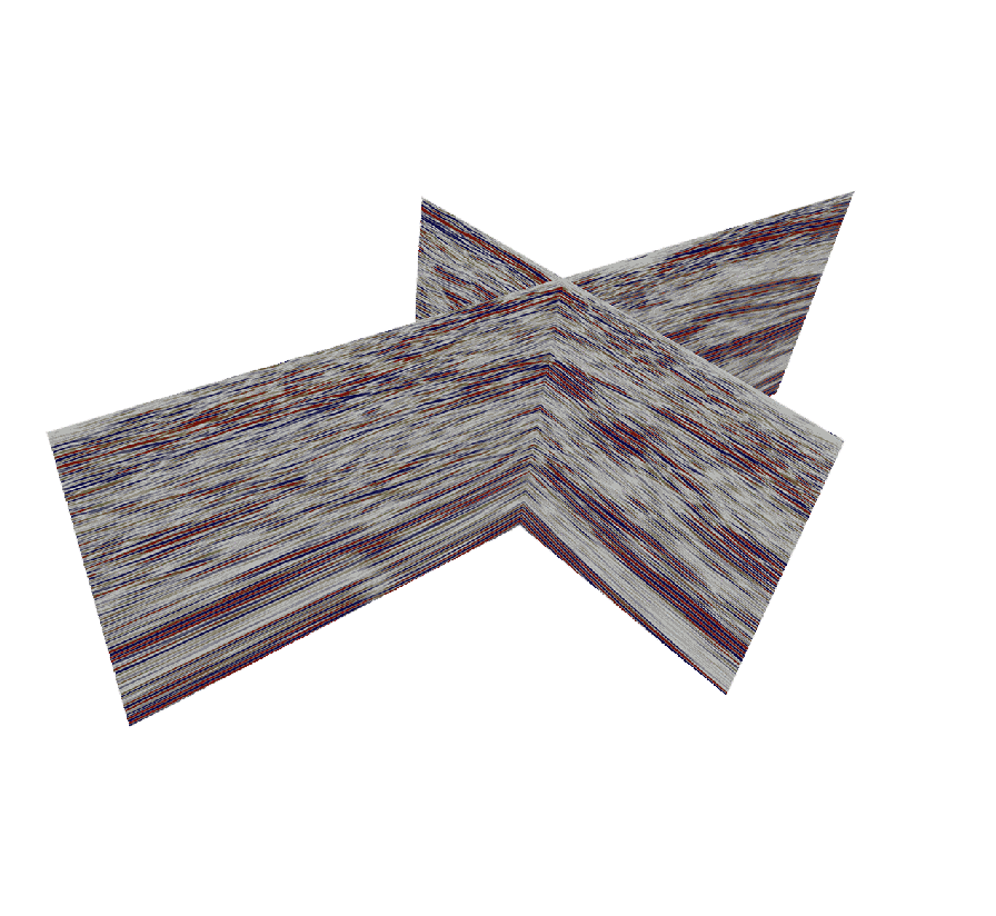
Seismic data analysis
Automatic facies classification, clustering 2D/3D, automatic interpretation of faults/fractures and Bayesian stochastic inversion.
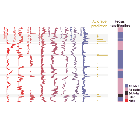
wireline logs analysis
Log prediction, clustering and automated classification of rock facies.
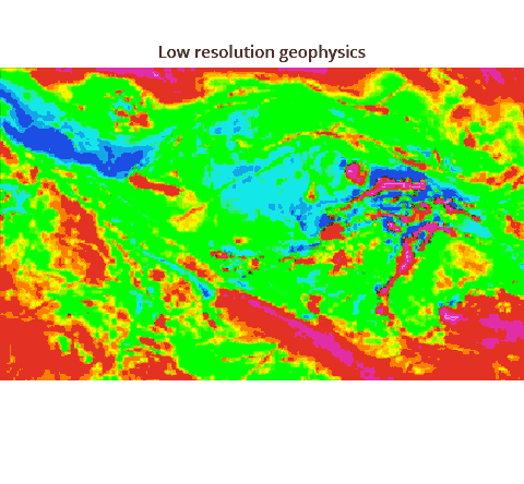
Airborne geophysical data analysis
Mapping high resolution airborne geophysics images from low resolution data using AI, deep learning feature extraction and more
Geoscience applications
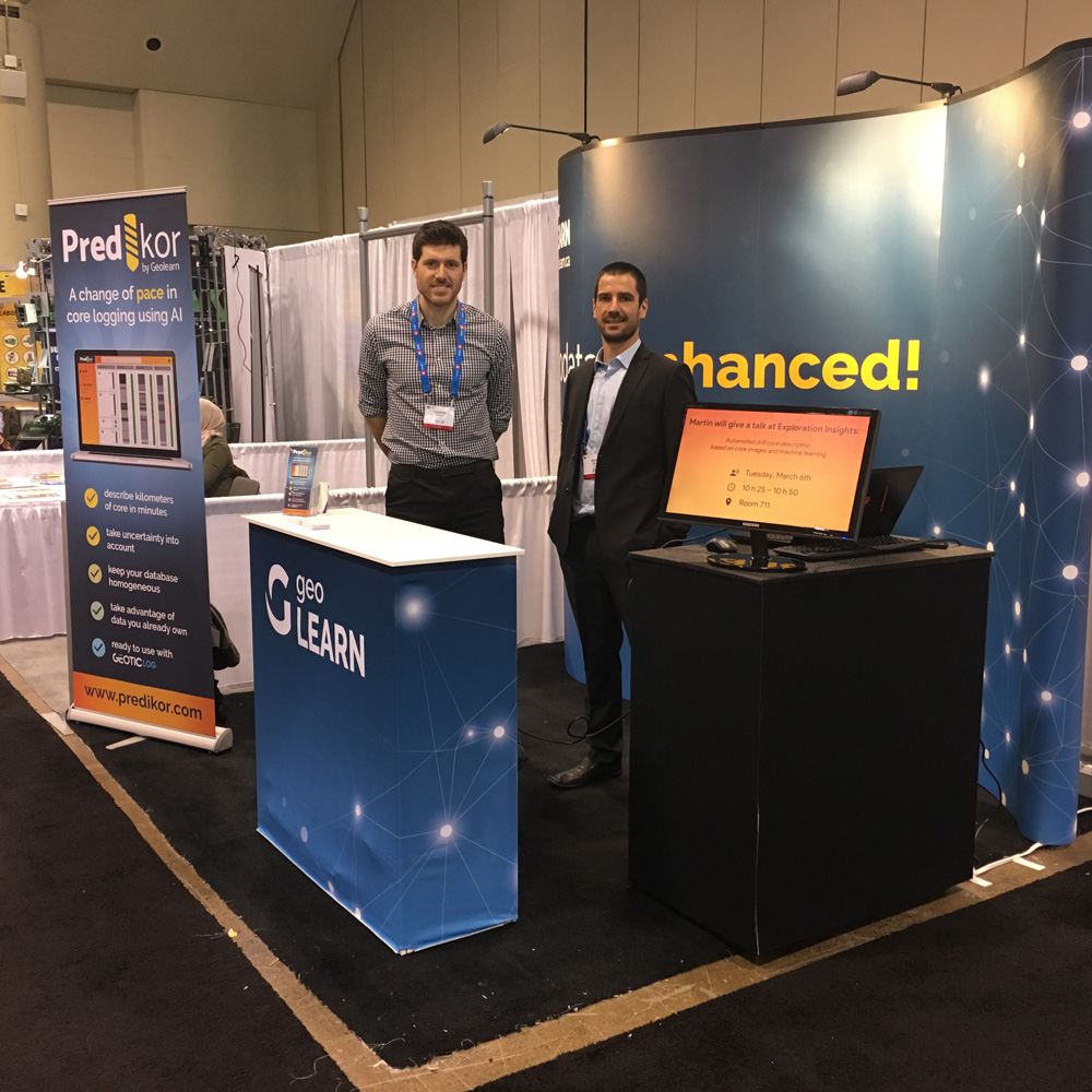
Predikor (automated description of core pictures, Unbox (Depth referencing of core images from core box photographs)
About
Founded in 2017 by students from INRS-ETE, Geolearn
has developed unique data processing and image analysis routines
in the field of geoscience. Considered as a leader in innovation,
Geolearn launched Predikor in 2018 and hosted several Machine Learning workshops
throughout Canada. In 2022, Geolearn joined the company Geostack to
continue the development of new technologies and the use of
artificial intelligence to solve problems in geosciences.